Daily Risk Forecast Maps
Forecast issued by the Met Office at 10:30am, Thursday 25th April
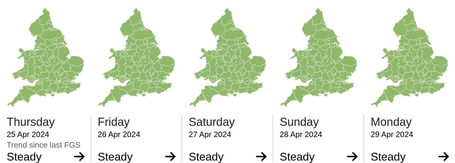
The forecast flood risk across England for today and the next four days is very low.
The forecast flood risk across Wales for today and the next four days is very low.
The river flood risk is VERY LOW for the next five days.
The coastal/tidal flood risk is VERY LOW for the next five days.
The surface water flood risk is VERY LOW for the next five days.
The groundwater flood risk is VERY LOW for the next five days.
The level of the ongoing disruption caused by groundwater flooding in the South of England is not forecast to get worse, the flooding is being managed and awareness is high. Consequently the groundwater flood risk is VERY LOW.