📢 Prefer not to see adverts? Become a supporter and we'll turn them off

Forecast issued by the Met Office at 10:30am, Tuesday 21st July
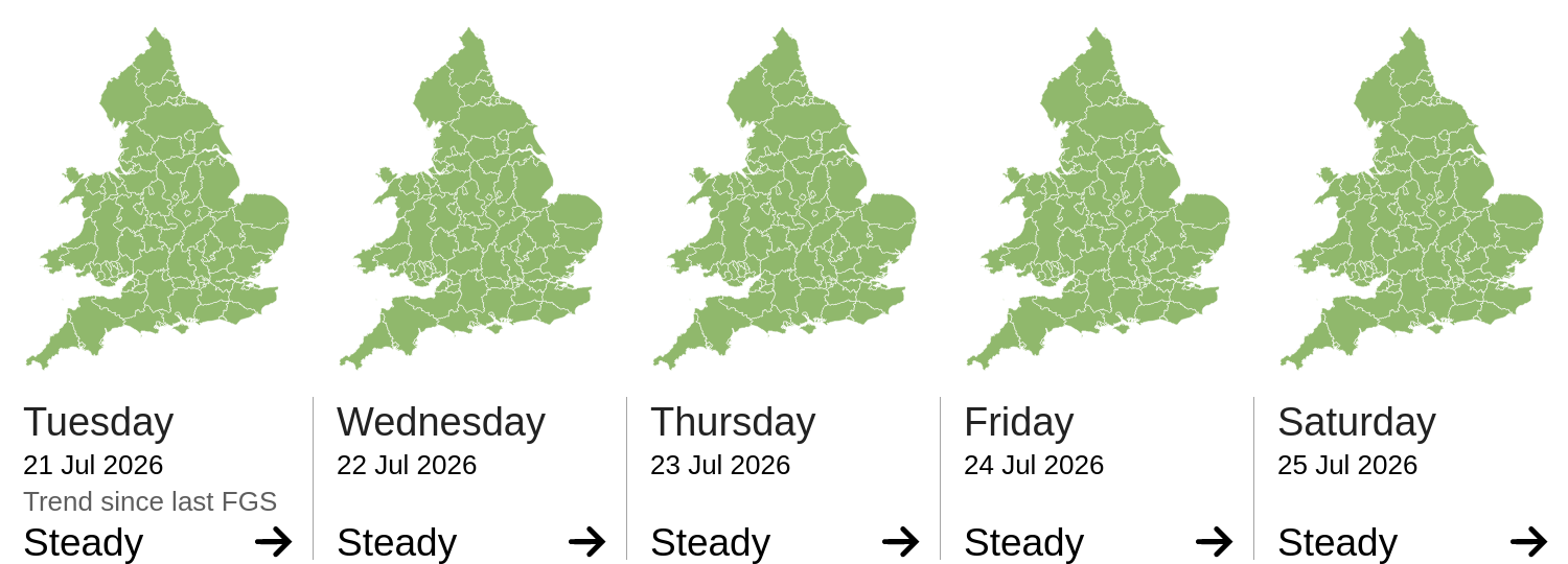
The forecast flood risk across England for today and the next four days is very low.
The forecast flood risk across Wales for today and the next four days is very low.
The river flood risk is VERY LOW for the next five days.
The coastal/tidal flood risk is VERY LOW for the next five days.
The surface water flood risk is VERY LOW for the next five days.
The groundwater flood risk is VERY LOW for the next five days.