Daily Risk Forecast Maps
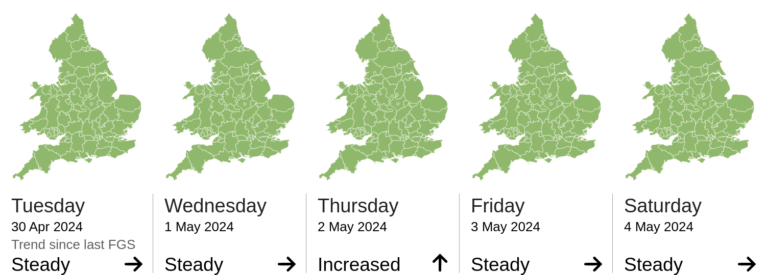
Forecast issued by the Met Office at 10:30am, Tuesday 30th April
Local flooding from surface water is possible but not expected in parts of the South West of England on Tuesday. Local flooding from surface water is possible across the Midlands and the South of England, with local flooding from rivers possible but not expected, from Wednesday afternoon into Thursday. Land, roads and some properties may flood and there may be travel disruption.
Local flooding from surface water is possible but not expected in Wales today (Tuesday). Local flooding from surface water is also possible, with local flooding from rivers possible but not expected, from Wednesday afternoon into Thursday. Land, roads and some properties may flood and there may be travel disruption.
The river flood risk is VERY LOW for the next five days.
Minor river flooding impacts are possible but not expected in parts of England and Wales on Wednesday and into Thursday. See Specific Areas of Concern Map.
The coastal/tidal flood risk is VERY LOW for the next five days.
The surface water flood risk is VERY LOW for the next five days.
Minor surface water flooding impacts are possible in parts of the South of England, the Midlands and Wales from Wednesday afternoon into Thursday. See Specific Areas of Concern Map.
Minor surface water flooding impacts are also possible but not expected in parts of England and Wales today (Tuesday).
Impacts could include localised flooding from urban and fast responding smaller watercourses/catchments, drains, channels and flooding from overland flow.
The groundwater flood risk is VERY LOW for the next five days.
The level of the ongoing disruption caused by groundwater flooding in the South of England is not forecast to get worse, the flooding is being managed and awareness is high. Consequently the groundwater flood risk is VERY LOW.
Bedfordshire, Kent, Bristol, E Sussex, Torfaen, Caerphilly, Medway, Shropshire, Northamptonshire, Surrey, Gloucestershire, Hampshire, Powys, Bracknell Forest, Essex, Windsor and Maidenhead, W Berkshire, Ceredigion, Portsmouth, Cornwall & Isles of Scilly, Reading, Devon, Warwickshire, Bridgend, Buckinghamshire, Oxfordshire, Wiltshire, Worcestershire, Wokingham, Neath Port Talbot, Merthyr Tydfil, Luton, Swansea, Thurrock, Dorset, N Somerset, Hertfordshire, Cardiff, Newport, S Gloucestershire, Carmarthenshire, Rhondda Cynon Taff, Herefordshire, Bournemouth, Gwynedd, Vale of Glamorgan, W Sussex, Brighton and Hove, Southampton, Gtr London, Monmouthshire, Staffordshire, Blaenau Gwent, Cambridgeshire, Bath and NE Somerset, Plymouth, Milton Keynes, Poole, Slough, Pembrokeshire, Somerset, W Midlands, Torbay, Swindon, Southend-on-Sea, Isle of Wight
Source and risk of potential flooding
Additional information: Heavy rainfall from Wednesday afternoon and into Thursday morning.