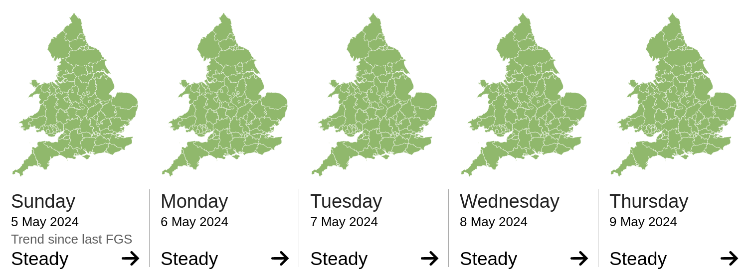
Daily Risk Forecast Maps
Forecast issued by the Met Office at 10:30am, Sunday 5th May
Local flooding from surface water is possible, and from rivers is possible but not expected, across parts of South East England on Monday, with local flooding from surface water possible but not expected more widely across England. Lands, roads and some properties may flood and there may be travel disruption.
Local flooding from surface water is possible but not expected across parts of Wales on Monday. Lands, roads and some properties may flood and there may be travel disruption.
The river flood risk is VERY LOW for the next five days.
Minor river flooding impacts are possible but not expected for parts of South East England on Monday. This is due to the potential for heavy thundery rain and heavy showers. See Specific Area of Concern Map.
The coastal/tidal flood risk is VERY LOW for the next five days.
The surface water flood risk is VERY LOW for the next five days.
Minor surface water flooding impacts are possible for parts of South East England on Monday and are possible but not expected more widely in parts of England and Wales. This is due to the potential for heavy thundery rain and heavy showers. See Specific Area of Concern Map.
Impacts could include localised flooding from urban and fast responding smaller watercourses/catchments, drains, channels and flooding from overland flow.
The groundwater flood risk is VERY LOW for the next five days.
The level of the ongoing disruption caused by groundwater flooding in the South of England is not forecast to get worse, the flooding is being managed and awareness is high. Consequently the groundwater flood risk is VERY LOW.
Kent, E Sussex, Surrey, W Sussex, Brighton and Hove
Source and risk of potential flooding
Additional information: Potential for heavy and persistent rain