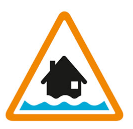

Flooding possible. Be prepared.
The River Lox is near normal, but rising a little in some locations following Wednesday's rain. Only isolated showers are forecast Thursday. River levels should not rise far. Friday's weather is uncertain. Rain is currently forecast from mid morning, but thought more likely to affect only the Sussex coastline, which should mean river levels will not rise on Friday. However, if more rain occurs further inland, from 14:00 13/02/2026 minor flood impacts could again affect fields, roads, and gardens of isolated riverside properties at Loxley Bridge on Wrotham Hill, Dunsfold and Petworth Road, Chiddingfold. Also gardens near Brewhurst Mill on Brewhurst Lane and the Onslow Arms, Loxwood. Less rain is predicted on Saturday, which will allow river levels to fall. However more widespread rain and flood risk is forecast on Sunday. Unsettled weather could continue throughout February. Consider activating any flood protection products you may have. Continue to operate private water control structures at Brewhurst. This message will be updated by 20:00 13/02/2026.
Information supplied by the Environment Agency
This information last updated 8:44am, Thursday 12th February.
River Lox in West Sussex from Chiddingfold to Drungewick, including the Loxwood Stream
Region: Solent and South Downs
Country: England
Counties covered: Surrey, West Sussex
Watercourses covered: Loxwood Stream
The area bounded in blue on the map shows the area covered by flood alerts and warnings for River Lox.
Note: the area shown on the map is the area covered by flood alerts and warnings. It is not a live map of current flooding. The area covered broadly equates to the area where the risk of flooding in any year is greater than 1% (the "hundred year" flood risk).

No current or recent warnings.

No current or recent warnings.

No current or recent warnings.

No current or recent warnings.