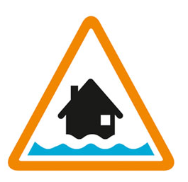

Flooding possible. Be prepared.
High river levels today may lead to flooding. The risk of flooding remains for low-lying agricultural land, playing field and roads including Grove Lane, Blackstope Lane, Goose Moor Lane at Ordsall, and farmlands in the Gamston and Eaton areas. Misson West Reservoir is now filling. Slaynes Lane is not accessible. Please avoid travelling to this area. Further rainfall is forecast over the next 48 hours. River levels at the Ordsall Gauge are steady but are likely to rise again with forecasted rainfall. We are closely monitoring the situation. Take care and avoid walking, cycling or driving through flood water. This message will be updated by 09:00AM on 13 February 2026 or as the situation changes.
Information supplied by the Environment Agency
This information last updated 4:25pm, Thursday 12th February.
River Idle and tributaries from West Drayton to the confluence with the River Trent
Region: East Midlands
Country: England
Counties covered: Doncaster, North Lincolnshire, Nottinghamshire
Watercourses covered: River Idle
The area bounded in blue on the map shows the area covered by flood alerts and warnings for River Idle in Nottinghamshire.
Note: the area shown on the map is the area covered by flood alerts and warnings. It is not a live map of current flooding. The area covered broadly equates to the area where the risk of flooding in any year is greater than 1% (the "hundred year" flood risk).

No current or recent warnings.

No current or recent warnings.

No current or recent warnings.

No current or recent warnings.

No current or recent warnings.