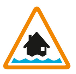

Flooding possible. Be prepared.
High river levels today may lead to flooding. Flooding is possible on 12 February 2026 and throughout this week. River levels at the Fosseway, Brokenborough, Great Somerford and Dauntsey gauges remain high but are currently falling. Rainfall today may cause levels to increase again. Flooding is forecast to affect locations near the Bristol Avon, Tetbury Avon, Sherston Avon, Dauntsey Brook, with low lying land and roads expected to be most affected, particularly around low lying areas in Tetbury, Badminton, Brook End at Luckington, Corsham, Lacock and the road at Reybridge. Further rainfall is forecast tomorrow and through the weekend so river levels may rise again in response. We are closely monitoring the situation and will issue further alerts and warnings if required. Please avoid using low lying footpaths and any bridges near local watercourses. This message will be updated by 12:00PM on 13 February 2026 or as the situation changes.
Information supplied by the Environment Agency
This information last updated 11:21am, Thursday 12th February.
Upper River Avon and tributaries including Malmesbury, Dauntsey, Chippenham and Calne
Region: Wessex
Country: England
Counties covered: Gloucestershire, South Gloucestershire, Wiltshire
Watercourses covered: Bristol River Avon
The area bounded in blue on the map shows the area covered by flood alerts and warnings for Upper Bristol Avon area.
Note: the area shown on the map is the area covered by flood alerts and warnings. It is not a live map of current flooding. The area covered broadly equates to the area where the risk of flooding in any year is greater than 1% (the "hundred year" flood risk).

No current or recent warnings.

No current or recent warnings.

Recent warnings no longer in force.

No current or recent warnings.

No current or recent warnings.