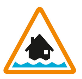

Flooding possible. Be prepared.
High river levels today may lead to flooding.
Flooding is possible on 12 February 2026.
Flooding of property and roads is expected, especially in the Free Prae Road area. A Flood Warning is in force for areas of Chertsey closest to the Chertsey Bourne. Further rainfall is forecast over the next 24 hours. River levels are slowly falling but we expect levels to remain high and responsive to further rainfall over the next few days.
We are closely monitoring the situation. We are liaising with emergency services and local authorities.
Avoid low lying roads near rivers, which may be flooded. Stay away from flood water - it contains hidden dangers such as open man hole covers, sewage and chemicals.
This message will be updated by 20:00 13 February 2026 or as the situation changes.
Information supplied by the Environment Agency
This information last updated 1:01pm, Thursday 12th February.
Chertsey Bourne including Virginia Water, Thorpe Green and Chertsey and the Moat at Thorpe
Region: Thames
Country: England
Counties covered: Bracknell Forest, Surrey, Windsor and Maidenhead
Watercourses covered: Chertsey Bourne, The Moat, Moat
The area bounded in blue on the map shows the area covered by flood alerts and warnings for Chertsey Bourne.
Note: the area shown on the map is the area covered by flood alerts and warnings. It is not a live map of current flooding. The area covered broadly equates to the area where the risk of flooding in any year is greater than 1% (the "hundred year" flood risk).

No current or recent warnings.

No current or recent warnings.

No current or recent warnings.

No current or recent warnings.

No current or recent warnings.