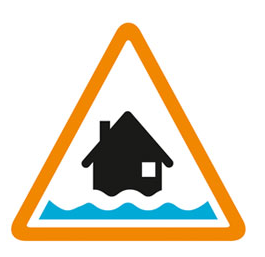

Flooding possible. Be prepared.
High river levels on Wednesday may lead to flooding.
Flooding is possible on 11 February 2026 as a lot of rain is forecast (20mm).
River levels remain high from rainfall experienced over the last few weeks, and due to high and rising groundwater levels. More rain is forecast tomorrow Wednesday 11 February, until the early hours of Thursday morning. Flooding is affecting Bishopstoke Road Playing Fields and possibly some gardens in Bishopstoke. Water may also affect the top of Duttons Lane and Withy Meadows, Eastleigh. Only a small amount of rain is forecast later this week and into the weekend, but weather conditions remain unsettled. River levels and flood risk will remain high.
We are monitoring rainfall and river levels and managing sluices at Bishopstoke and Stoke Lock.
Consider activating any flood protection products you may have .
This message will be updated by 6:00PM on 13 February 2026 or as the situation changes.
Information supplied by the Environment Agency
This information last updated 3:22pm, Tuesday 10th February.
River Itchen and tributaries from Otterbourne to Woodmill
Region: Solent and South Downs
Country: England
Counties covered: Hampshire, Southampton
Watercourses covered: River Itchen
The area bounded in blue on the map shows the area covered by flood alerts and warnings for Lower Itchen.
Note: the area shown on the map is the area covered by flood alerts and warnings. It is not a live map of current flooding. The area covered broadly equates to the area where the risk of flooding in any year is greater than 1% (the "hundred year" flood risk).

No current or recent warnings.

Recent warnings no longer in force.

No current or recent warnings.

No current or recent warnings.