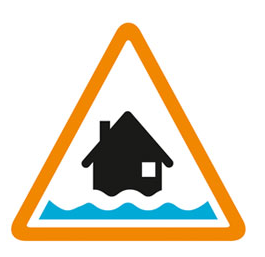

Flooding possible. Be prepared.
The River Tone level at Currymoor pumping station is stable at 7.62m. Water will enter Currymoor via Hookbridge spillway whilst above 7.45m. The drain level at Currymoor pumping station is currently 7.64m and stable. Cutts Road and New Road remain closed. Athelney spillway is running and the A361 is closed. For the latest levels refer to https://check-for-flooding.service.gov.uk/river-and-sea-levels. We are pumping at Northmoor and Saltmoor and have additional mobile pumps at both stations. The River Tone level remains high and pumping at Currymoor will commence when river levels allow. Thursday (12/02/26) will be a showery day. The outlook for Friday remains unsettled with further rain forecast. Saturday will be a predominantly dry day before unsettled conditions return on Sunday. Catchments remain saturated and rivers are very responsive to rainfall. We are monitoring the situation closely and checking flood banks, spillways and sluices. Please avoid driving through flood water. This message will be updated by 1pm on 13/02/2026 or as the situation changes.
Information supplied by the Environment Agency
This information last updated 12:50pm, Thursday 12th February.
Lower Rivers Tone and Parrett including West Moor, Hay Moor, Curry Moor, Stan Moor, Salt Moor and North Moor
Region: Wessex
Country: England
Counties covered: Somerset
Watercourses covered: River Tone, River Parrett
The area bounded in blue on the map shows the area covered by flood alerts and warnings for Lower Tone and Parrett Moors.
Note: the area shown on the map is the area covered by flood alerts and warnings. It is not a live map of current flooding. The area covered broadly equates to the area where the risk of flooding in any year is greater than 1% (the "hundred year" flood risk).

No current or recent warnings.

No current or recent warnings.

No current or recent warnings.

No current or recent warnings.

No current or recent warnings.