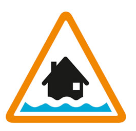

Flooding possible. Be prepared.
Rising river levels today may lead to flooding.
Flooding is possible on 12 February 2026 .
Locations most affected will be low lying land and roads near rivers, especially land around Barmston.
We are closely monitoring the situation .
Take care and avoid walking, cycling or driving through flood water .
This message will be updated by 8:00PM on 12 February 2026 or as the situation changes.
Information supplied by the Environment Agency
This information last updated 7:59am, Thursday 12th February.
North Holderness including Skipsea, Hornsea and Lissett
Region: Yorkshire
Country: England
Counties covered: East Riding of Yorkshire
Watercourses covered: Holderness Drain
The area bounded in blue on the map shows the area covered by flood alerts and warnings for North Holderness.
Note: the area shown on the map is the area covered by flood alerts and warnings. It is not a live map of current flooding. The area covered broadly equates to the area where the risk of flooding in any year is greater than 1% (the "hundred year" flood risk).

Recent warnings no longer in force.

No current or recent warnings.
