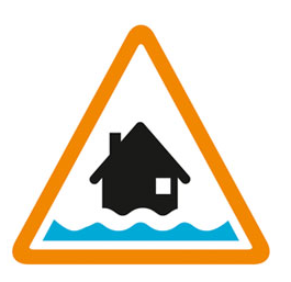

Flooding possible. Be prepared.
High river levels today may lead to flooding. Flooding is possible on 12th February 2026.
Flooding may affect low lying land and roads adjacent the river from Shrewsbury to Upper Arley. Locations that may be affected are White Abbey, Coalbrookdale, Ironbridge and Bridgnorth. River Severn bankfull at White Abbey, floodplain may be filling at Hayes Basin.
Observed peaks:- Crew Green 5.54m on Saturday 07/06 AM and 4.48m Monday 09/02 PM. Buildwas 4.08m on Sunday 08/02 PM.
We are closely monitoring the situation. Take care and avoid walking, cycling or driving through flood water.
This message will be updated by 10:00AM on 13th February 2026 or as the situation changes.
Information supplied by the Environment Agency
This information last updated 8:14am, Thursday 12th February.
River Severn in Shropshire
Region: West Midlands
Country: England
Counties covered: Shropshire, Telford and Wrekin, Worcestershire
Watercourses covered: River Severn
The area bounded in blue on the map shows the area covered by flood alerts and warnings for River Severn in Shropshire.
Note: the area shown on the map is the area covered by flood alerts and warnings. It is not a live map of current flooding. The area covered broadly equates to the area where the risk of flooding in any year is greater than 1% (the "hundred year" flood risk).

No current or recent warnings.

No current or recent warnings.

No current or recent warnings.

No current or recent warnings.

No current or recent warnings.

No current or recent warnings.

No current or recent warnings.

No current or recent warnings.

No current or recent warnings.